Below are Oakland County Precinct Maps for all candidates in the March Primary. A legend is provided beneath the maps. Below is the Republican. one. At a glance Precincts won by Candidate Trump are in bright yellow. Those carried by John Kasich are in pea green. Cruz precincts are in dark green. To figure out where you are on the crazy quilt of lines and spaces look for the City of Bloomfield Hills in the lower right hand area of the map. It is the easy to find rectangle with a mountain or bulge inside of it. The bulge is the result of Cranbrook schools, the largest land owner in the City and the City's attempt to balance the size of the two voting precincts. The City of Bloomfield Hills sits a diagonal line that is Woodward Avenue. If the rectangle looks big it's because it is. The City of Bloomfield Hills with 3500 residents is is larger in area than the City if Birmingham which has 20,000 inhabitants. Remember the maps are drawn to show only voting precincts.
The City of Bloomfield Hills has 2, Birmingham 9, Bloomfield Township 32, and Oakland County 520. If you visit the Oakland County Elections Web site from which this information is drawn you will find these maps. putting your cursor on the map will reveal the precincts name and number.


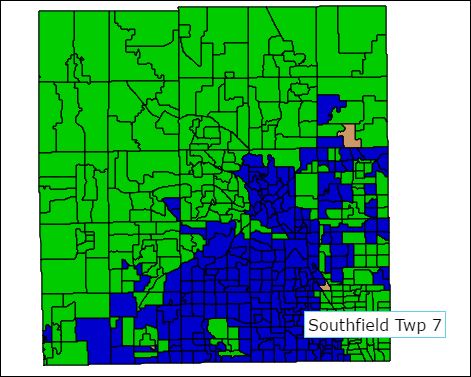
Democrat map at a glance Green are Sanders Precincts. Dark Blue voted for Clinton.
No comments:
Post a Comment